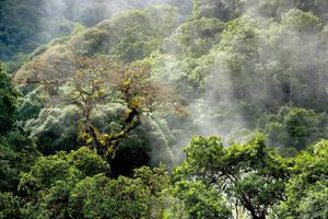
The Amazon Rainforest as seen from the Alto Madre de Dios river in Peru. Martin St-Amant via Wikipedia
Members of nearly 40 Indigenous communities in Peru’s northern border region of Loreto have been using smartphone mapping apps to track deforestation in the Amazon, the Thomson Reuters Foundation reported. Forest loss there has been driven by illegal gold mining and logging, and by drug traffickers clearing trees to plant coca crops, which are used to make cocaine.
“The forest has been very hard-hit by drug trafficking,” Francisco Hernandez, a leader of the Indigenous Ticuna people, one of the communities taking part in the project, told the Thomson Reuters Foundation. “Technology has helped us a lot to collect precise information about where deforestation is happening that gives exact coordinates about illegal activity taking place, which is then passed to judicial authorities.”
For the project, which began in 2018, researchers monitored loss of forest cover in the Amazon using an algorithm, developed by the University of Maryland’s Global Land Analysis and Discovery laboratory, that detected changes in satellite images and issued alerts.
Once a month, couriers sailed the Amazon River and its tributaries to share information on suspected deforestation with the communities involved in the project. Locals downloaded the information from USB drives onto their smartphone apps and used it to verify the reported deforestation. After confirming it, the project alerted authorities.
Researchers found tree cover loss fell by 52 percent on average in participating communities during the first year of the project, as compared with other communities not involved in the initiative. The findings were published in the Proceedings of the National Academy of Sciences.
“Should our results hold up elsewhere, they would suggest that similar community-based monitoring programs implemented by Indigenous peoples across the Amazon can help contribute to sustainable forest management on a larger scale,” Jacob Kopas, a senior attorney at Earthjustice and co-author of the study, said in a statement.


